Washington State Photo Gallery: Mount St. Helens, February - March 2005
Last update: November 9, 2009Photographs taken by Associated Press (AP) Photographers
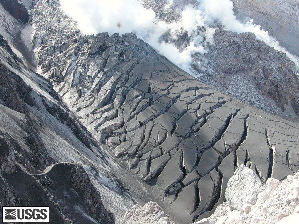
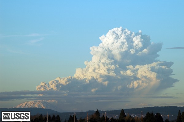
 East arm of the Crater Glacier covered with ash from the event of March 8, 2005. USGS Photograph taken March 9, 2005, by Dave Sherrod.  New dome and glacier uplift, as seen from Brutus. USGS Photograph taken on March 9, 2005, by Dan Dzurisin.  Plume from Mount St. Helens, as seen from the Cascade Volcano Observatory Office roof, taken approximately at 5:30 PM, PST. Plume is drifting east-northeast after reaching approximately 36,000 feet above sea level. USGS Photograph taken at approximately 5:30 PM PST on March 8, 2005, by Matt Logan. |

